
Guest Editorial for GISCA 2024 Special Issue
Article Sidebar
Published:
Dec 20, 2024
Keywords:
GISCA, GISCA2024, GIS-in-Central-Asia conference, Esri, CACGeoPortal, ArcGIS
Main Article Content
Abstract
Message from Guest Editor
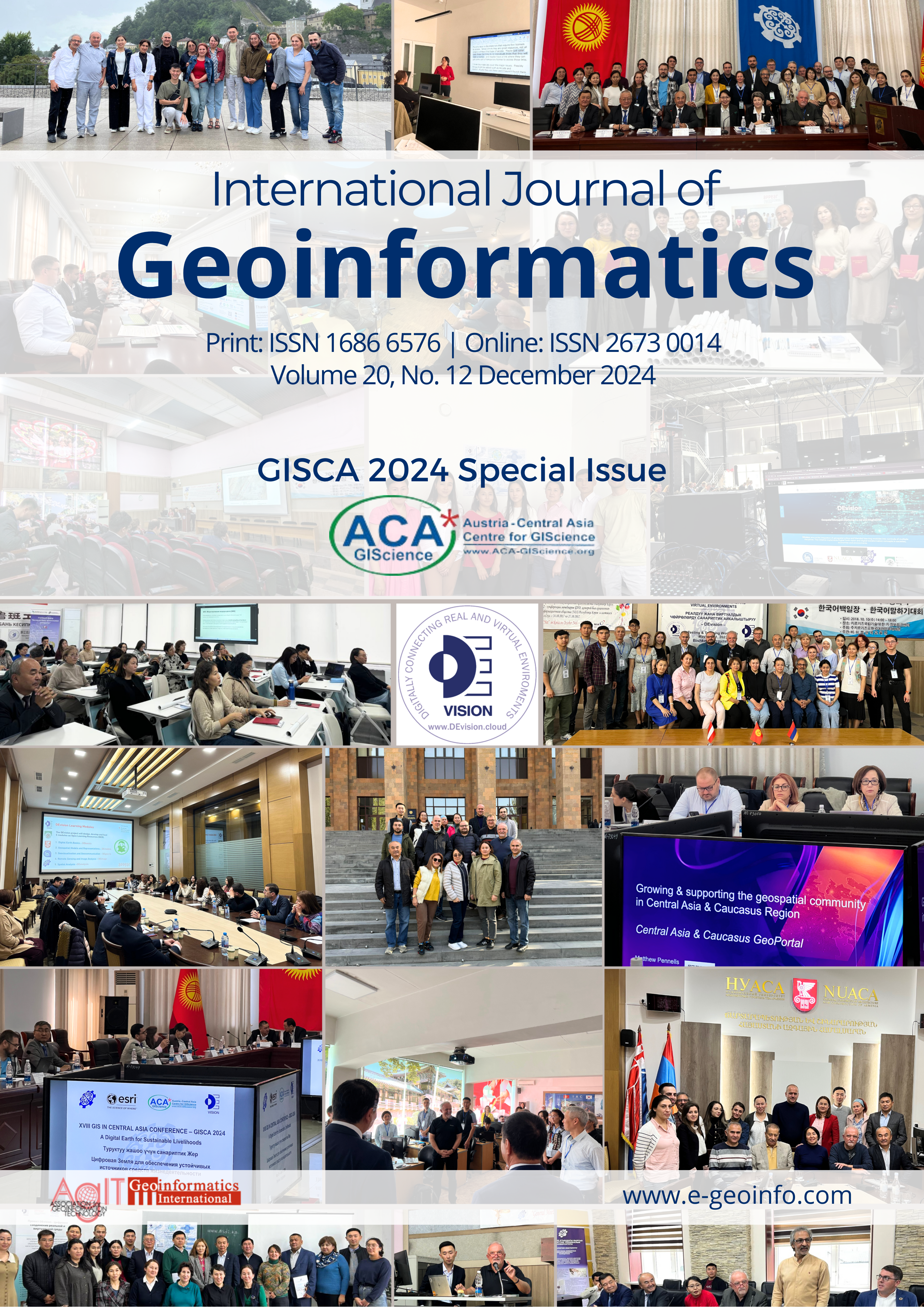
Volume 20, No.12 December 2024
GISCA 2024 Special Issue
GeoPortal – our community and sharing platform
by Prof. Josef Strobl
University of Salzburg and Austrian Academy of Sciences
One of the highlights in the past year was the establishment of the Central Asia – Caucasus GeoPortal at https://www.cacgeoportal.com, facilitated by Esri as a key industry partner in the domain of Geoinformatics. This platform already has attracted approx. 1000 members and has started to serve as a community hub for everyone involved or simply interested in geospatial activities and actions from this region.
The CACGeoPortal has served its many users right from the beginning as a regionally focused access pathway to the ArcGIS Living Atlas with its enormous collection of data services, web maps and online apps altogether significantly lowering the hurdle for entering the world of GIS, of exploring, leveraging and developing geospatial information.
Even more importantly, this GeoPortal offers opportunities for sharing of data, but also exemplary maps and apps among community members and the general public. This feature encourages all members to engage with each other’s work and to learn from and with the community.
Open access to GeoPortal resources is the key success factor for developing it into the central hub for everyone with a ‘spatial perspective’ in the region. Registering and maintaining membership is freely available to anyone, and open licenses apply to data services and shared documents and apps. The principles of open science encourage and enable collaboration, and also attract newcomers getting started with less effort.
A core feature of the platform is access to ArcGIS Online as a universal and powerful mapping, analysis, and presentation facility. Every member now has the opportunity to work with this powerful set of tools, and as needed is supported through the rich set of training offerings from the Esri Academy. Based on an open community principle, all created maps and apps can be shared for showcasing, discussion and participation.
The Central Asia – Caucasus GeoPortal also aims at ‘merging technology with community action’. This is important: a geoportal is not just a website for individuals to retrieve and maybe contribute information, but also to interact as a community. This requires a strong communication framework, something currently still missing. Acknowledging that this geoportal still is work-in-progress continuing to evolve based on user contributions and demand, we expect elements supporting communication to emerge soon. With sharing as a key aim of a geoportal, it is obvious this cannot be done without communication.
A geoportal like this, as a powerful user interface for interoperating spatial data infrastructures, only has become feasible as a cloud-based orchestration of standardized web services. The paradigm of a cloud-first strategy facilitates not only ubiquitous access, but also live updating and synchronization across sources, and of course flexible sharing.
This not only significantly enhances access to learning experiences in formal and informal settings, on all education levels as well as for continuing education, but also provides opportunities for citizen engagement and public participation. The latter today is more important than ever, without the involvement of citizens in the process of translating knowledge into policies, decisions and actions our societies will struggle to legitimize political leadership, governance and implementation of decisions.
A geoportal is not only directed at the geo- disciplines! As a spatial view is relevant in a majority of, and across disciplines, we are aiming at communicating the benefits to ‘everyone’, including, but not limited to retail, financial services, logistics, utilities, civil engineering, risk management and also ecology, conservation, archaeology and many more. Furthermore, the principle of connecting-by-location highlights the power of location as a (database) key, establishing connections between hitherto entirely unrelated entities, making a case for a transversal application of our geospatial toolset.
Making a geoportal like the one referenced above a core tool in educational environments therefore is not only mandatory in traditional geospatial disciplines, but at least as much in all those fields benefitting from a spatial view, from integration of spatial information, aiming at added value and insights from leveraging the full spatial context of observations. While a fully equipped ‘GIS lab’ will not be available at all schools and in all study programs, access to a geoportal is not an issue, paving the way towards fundamental geospatial education for all.
Quoting the CAC GeoPortal entry page: “Dedicated to empowering students, educators, and GIS professionals by providing free access to geospatial resources. Our mission is to enhance understanding and engagement in critical regional and global issues through the power of GIS technology. By joining the Central Asia and Caucasus GeoPortal, you'll receive free access to an array of data, tools, and educational opportunities. Additionally, you'll be part of a collaborative platform that encourages innovation and advocacy for important causes in your local and global communities.”
There is not much left to say beyond asking – have you joined already?
This special issue documenting some contributions to the 2024 GIS-in-Central-Asia conference would not have been possible without the work of Nursultan Ismailov and Ainura Nazarkulova as co-editors and as local and scientific organizers. Many other contributors made it possible to again facilitate this valuable regional platform for exchange in GIScience and its practice! We also would like to recognize and acknowledge the leadership of the Kyrgyz State Technical University hosting GISCA in 2024.
Special thanks go to all authors and reviewers of papers in this edition.
Article Details
How to Cite
Strobl, J. (2024). Guest Editorial for GISCA 2024 Special Issue . International Journal of Geoinformatics, 20(12). Retrieved from https://ijg.e-geoinfo.com/index.php/journal/article/view/3817
Section
Articles

This work is licensed under a Creative Commons Attribution 4.0 International License.
Reusers are allowed to copy, distribute, and display or perform the material in public. Adaptations may be made and distributed.